FIND OUT ABOUT
Drone Survey
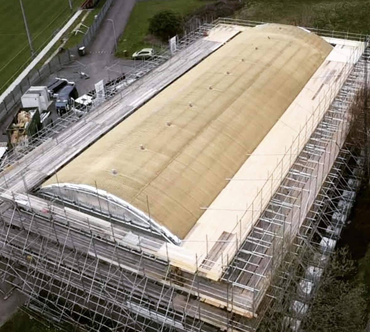
At Acute Scaffolding Designs, we use drone technology to deliver precise, high-quality surveys tailored to your project requirements.
Our qualified drone pilots capture detailed imagery and data across your site, which is then used to inform scaffold designs, calculate access needs, and identify potential risks. This method is particularly effective in large-scale or complex environments where traditional surveying methods may be limited or hazardous.
Using drone surveys not only enhances safety but also saves time and reduces costs.
By gaining a complete aerial view of a site, we can create more accurate plans, streamline the design process, and ensure compliance with health and safety standards. Whether you’re at the planning stage or reviewing an ongoing project, our drone surveys provide the clarity and confidence you need to move forward.
